Oorgu wind farm
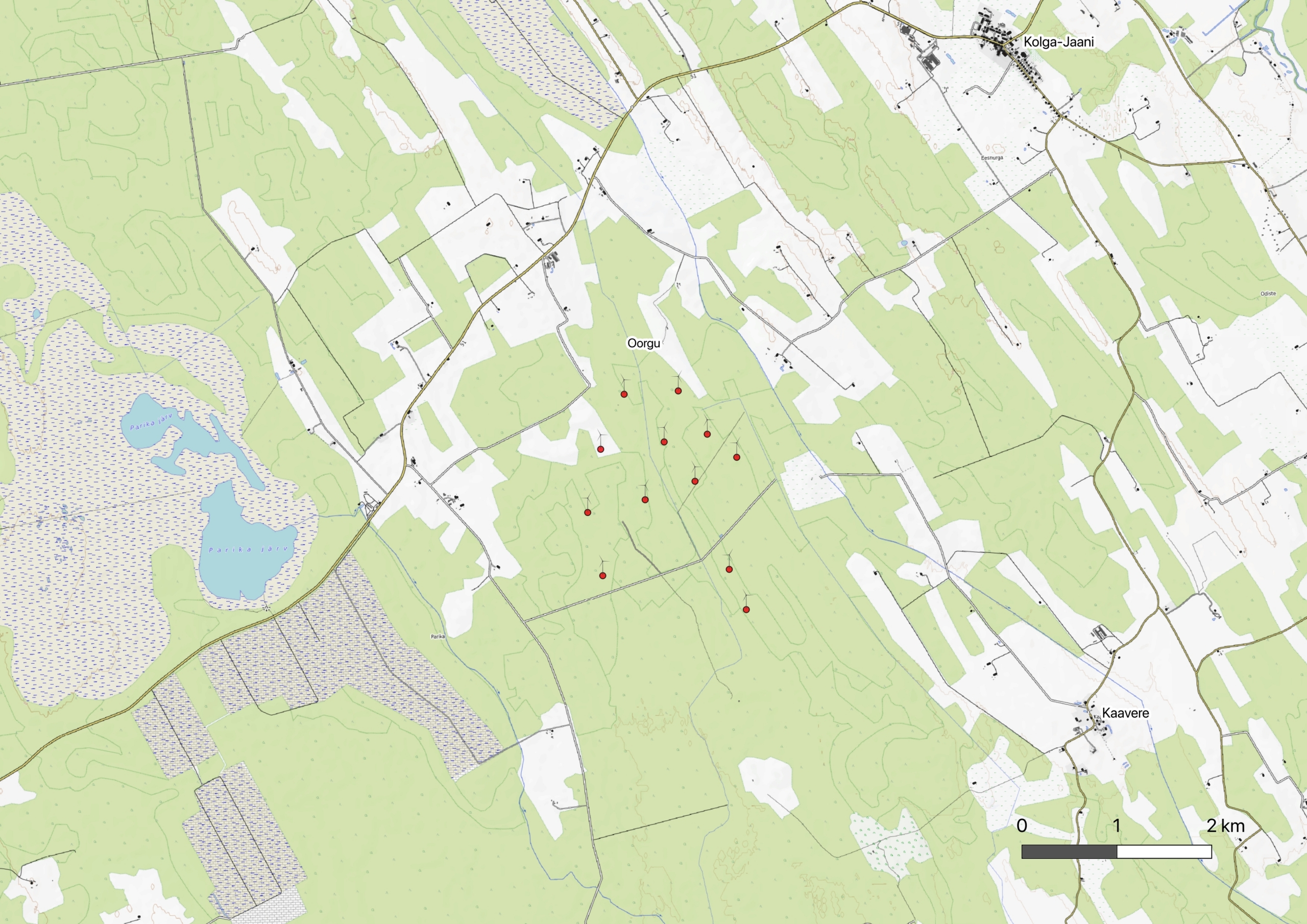
Oorgu wind farm is planned in Viljandi municipality between the villages of Parika and Oorgu.
-
 Status
 - In the planning stage
-
 Location
 - Between Parika village and Oorgu village, Viljandi Municipality
-
 Height of wind turbines
 - Up to 250 m
-
Turbines
- Up to 12
-
 Expected total production
 - Ca 205 GWh/a
Oorgu wind farm area
Related materials
In the winter of 2026, the Anthropology Center conducted a community survey in the Unakvere and Oorgu regions on behalf of Vindr. The survey mapped the thinking patterns and attitudes of local residents regarding the energy sector and analyzed concerns and expectations regarding the development of the wind energy sector and the future in general.
On May 6-7, 2026, we conducted discussion groups with people from Oorgu, Parika, Kaavere, Järtsaare, Unakvere, Paenasti and Venevere. The slides presented by Vindr are included in the materials below.
Check out the materials:
Photomontages
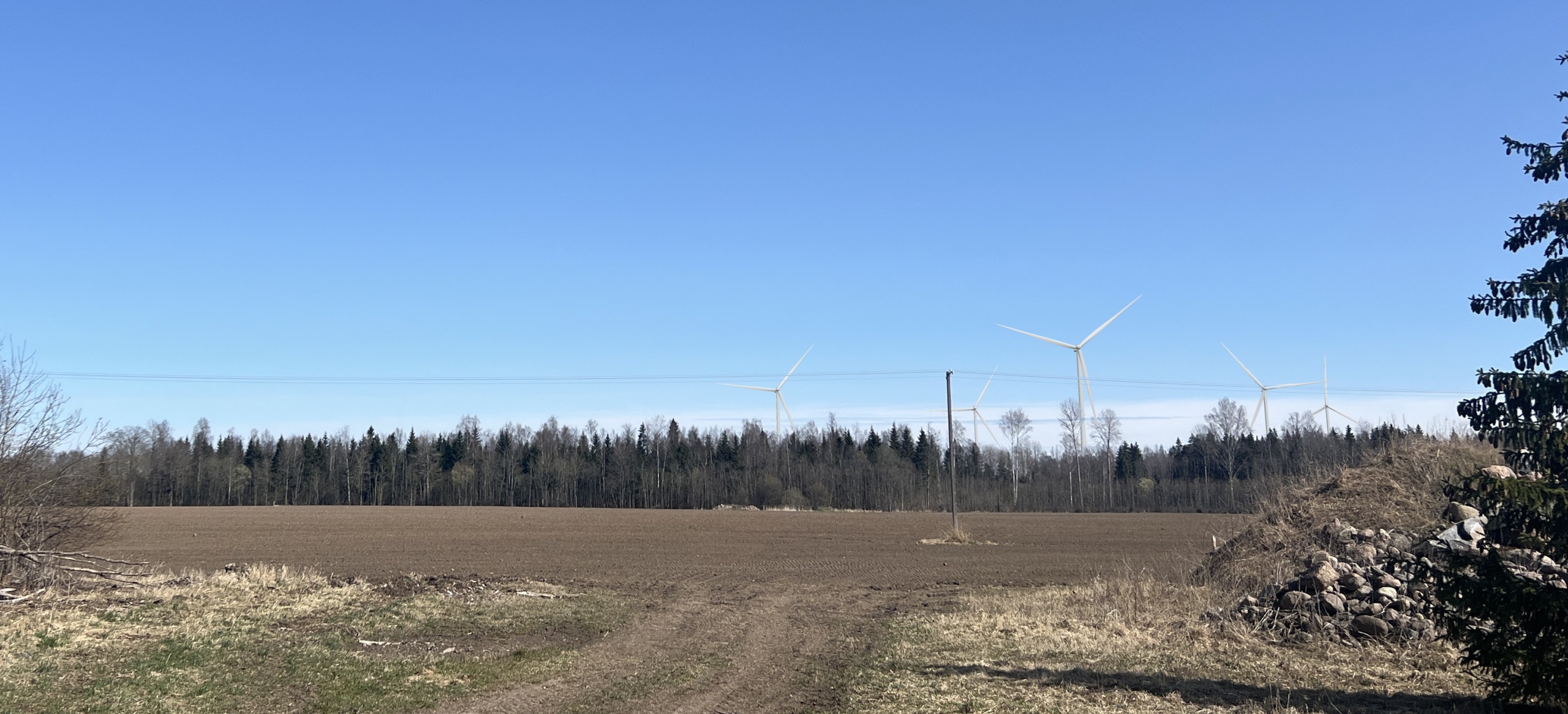
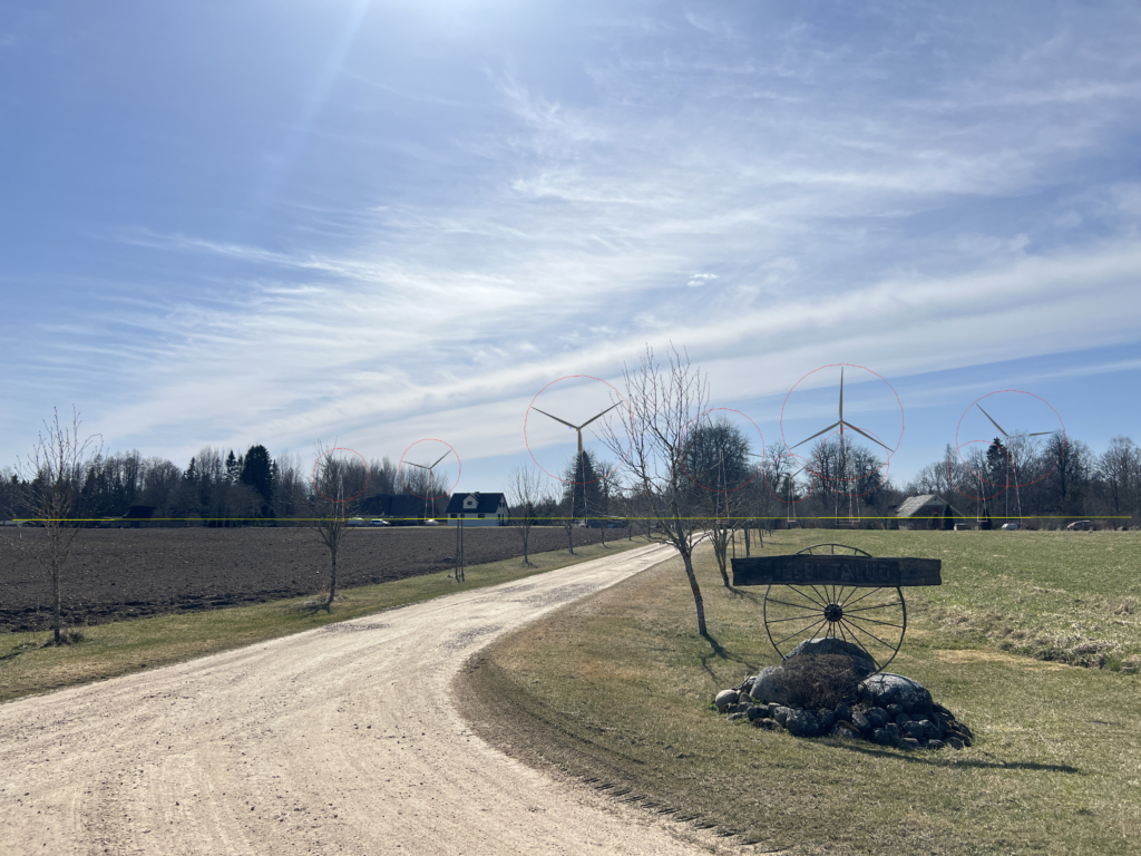
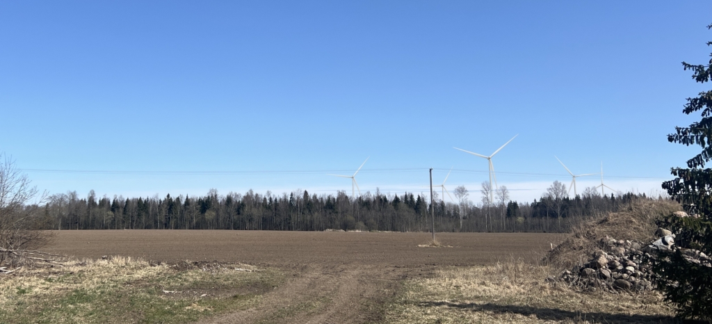
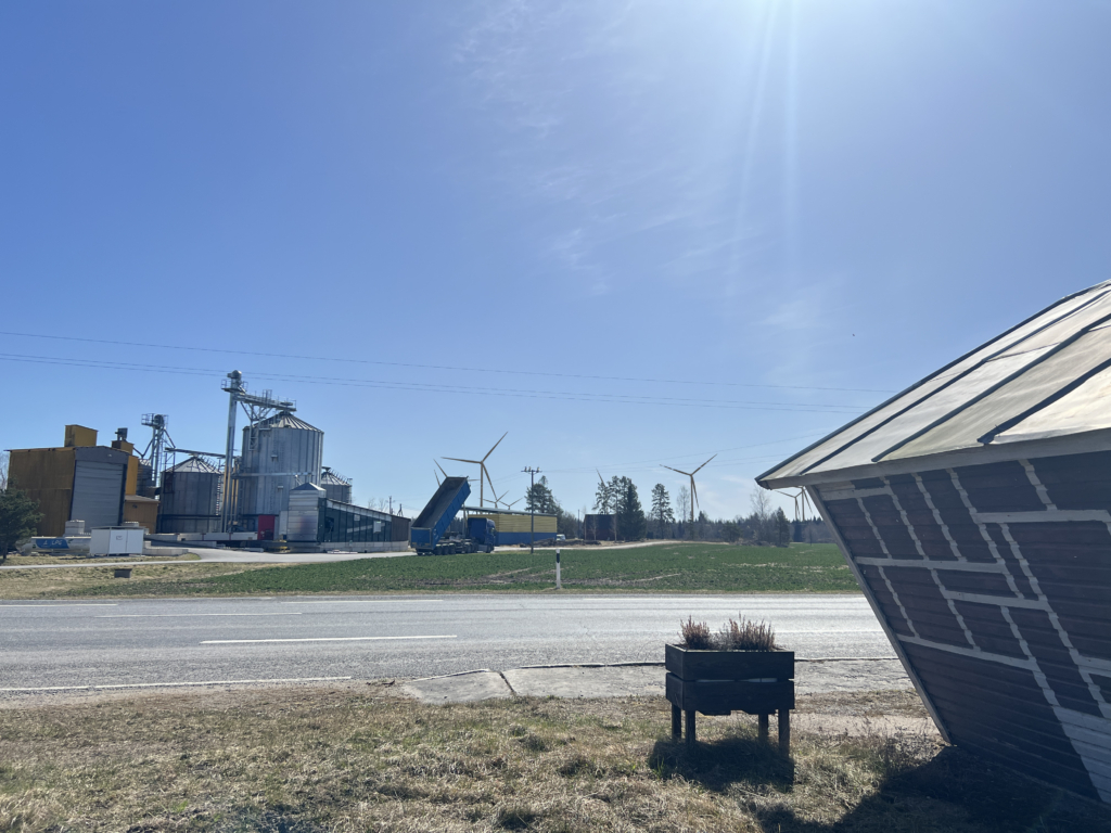
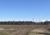
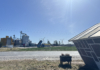
To prepare the photomontages below, the landscape surrounding the Oorgu Wind Farm was photographed from several observation points. At each location, the GPS coordinates, elevation above sea level, and compass bearing were recorded. The photomontages were created using the WindPRO wind farm planning software, which calculates the position, size, and proportions of the wind turbines based on the coordinates of the observation point, the camera height, and the viewing direction. The visualisations use Vestas V172 wind turbines with a hub height of 164 metres and a maximum tip height of up to 250 metres.
The images were produced based on the turbine layout envisaged at the time the project was prepared and are intended to help visualise the potential impact of the wind farm on the surrounding landscape. As the project progresses, the number, locations, and other technical parameters of the wind turbines may change. Consequently, the final wind farm may differ from the photomontages presented here.
Project Contacts



Who are we?
VINDR IS LEADING THE WAY TOWARDS THE FUTURE OF WIND ENERGY IN THE NORDICS
Vindr is a Nordic renewable energy company committed to shaping the energy systems of the future. We develop wind and solar farms using the latest technologies and industry best practices, contributing to a secure and reliable energy supply.
At the core of our operations is responsible and sustainable energy production that creates long-term value for local people and communities. We believe that every project we develop should deliver lasting benefits and be sustainable from both an environmental and a local community perspective. Our goal is to ensure that our developments contribute positively to the regions in which they are located, both today and for generations to come.
About Vindr